A Kindergarten to 12th Grade Day & Residential School for boys & girls
Cambridge School in Bangalore
International School
IB & CAIE
World School
CBSE
Learning Philosophy
Objectives & Approach
News & Latest from Social

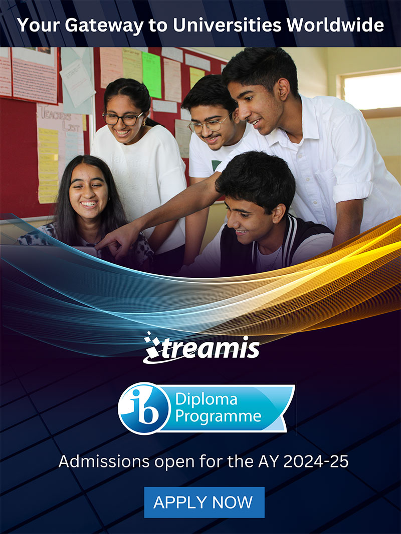
IBDP
")
Walkathon ’24

Primary School Showcase!
The Legacy continues…
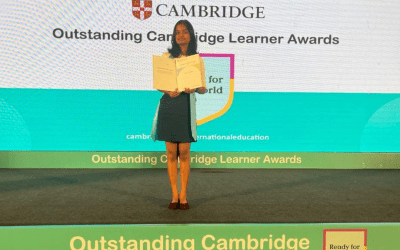
The Legacy continues… Bharunishree for the win! Treamisian Bharunishree Manikandan received Outstanding Learner’s Award from Cambridge Assessment International Education. She has an impressive record of A* in all the eight subjects she opted and High...
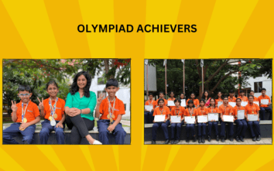
Olympiad Achievers
TREAMIS students shine in International Olympiads. Treamisians have done it again! Our young learners secured the top five International ranks in the Olympiad Exams. Svojas Pradhan got International Rank 1 in the Mathematical Olympiad, while Mugil Karunaa V secured...
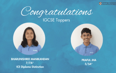
CAIE Results
As in the past, Treamis repeats 100% pass in the CAIE results for AY 2022-23. Bharunishree Manikandan with 7/7 ‘A*’s and Praful Jha with 5/5 'A*'s were the toppers in IGCSE. Avnish Chate with 3 ‘A*s’ & 1 ‘A’ and Aadyanth Rao with 2 ‘A*’s & 2 ‘A’s were the...
Academic Placement
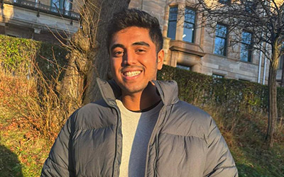
Abhay Asagodu
University of Glasgow UK
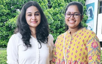
Anupama Rao
University of Minnesota
Renu Ravichandran
University of Manchester UK
Take a Virtual Tour
Upcoming Events
No Results Found
The page you requested could not be found. Try refining your search, or use the navigation above to locate the post.

Community Service
College Preparatory School
T-MUN
Sports Academy
Teacher Education Institute
What They Say